
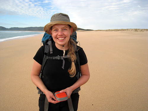
Dawn comes way too early. I've set the alarm for 6:30 a.m., and we drag ourselves up, put on the same stinky clothes we've been living in for the last few days, and strike camp.
At around 7am we are looking at the estuary. It's higher than it was when we first looked at it last night, and we walk upstream, searching for the crossing point casually mentioned in the track description. Following the muddy ruts of a jeep track, we eventually come to a place where they bear sharply left across the sand and into the rising water.
It's the usual routine - roll-up trousers, take off shoes, and wade. The periodic "incoming tide" waves roll slowly upstream while we do this, cresting the current edge of the estuary and lapping at the sandy floodplain. We hurry across, wincing at the chilly water, pausing for a moment on a sandbar island, then going ashore.
After hopping about for a minute forcing shoes back onto numb feet, we head inland on the boggy jeep trail. Around us rises the regenerating bush and the air is filled with the early morning chatter of birds. We begin to wonder if we're on the right path, but another 10 minutes brings us to a sign marking where the track branches off and leads up the mountain. We eat cereal bars and continue onward.
Lead up the mountain it does, and with no concern whatsoever for grade. The trail is a mountain goat track leading straight upwards at something like 60% grade. We huff and puff and almost crawl up the slope, covering in 30 minutes what is supposed to take nearly an hour.
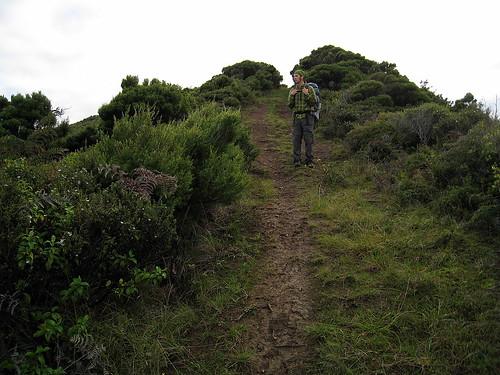
By the end we are seriously out of breath, but pleased with ourselves, until we inspect the part of our forward path which this higher vantage point has brought into view.
We have a long, long day of ridgeline ascents and descents, and there's nothing for it but to keep walking. Below us the estuary we crossed is more than twice as wide as it was when we passed it and growing steadily.
We stop and drink some hot tea, then continue along the ridgeline in a somewhat more gentle ascent. Fantails flutter around us, snapping up tiny insects that we are stirring up, but refuse to sit still long enough for Christina to take a decent picture.
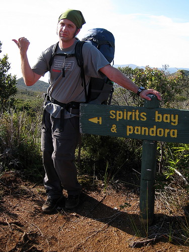
For the rest of the morning. We trudge up and down through magnificent views. At some point ahead, the trail branches. One fork leads down to Pandora Beach; the other leads upwards to Te Paki mountain, the highest point in Northland. It's actually only perhaps 100 meters higher than what we've been climbing for the last couple of days, but even though there's supposed to be some interesting remains from a wartime radar installation, as well as gorgeous views, we are not in the mood to add another hour to a day already full of walking.
Eventually we round a corner, come down a ridge, and see the turnoff sign for Pandora Beach! Even though we have a long ways to go, it feels like we're home free. There will be no more serious ascents on the tramp, and our legs are glad.
Pandora Beach used to be a resort, and we are following the heavily eroded dirt road that once led to it. The bush gets thicker and thicker as we descend. Hopping over gullies and slopping through mud puddles, we near the bottom of the road. In the bush as we are, it's impossible to see the ocean until we round the last corner, though the sound of the stream paralleling the bottom stretch of the road gradually merges into the roar of the surf, letting us know we are nearing the beach.
The road dead-ends in an overgrown pasture-swamp. There's a worn sign on the gateway telling us where we are. Its back is a sign painted for a different location. Evidently the park is not into wasting money on new signs. The grass choking the meadow is a mass of tangled roots and runners over a foot deep on top of trickling water everywhere. It's thick enough to keep our feet out of the muck for the most part, but the 3-foot high scrub we have to push through makes for slow going.
We wander about, looking for the best path through the grass, and eventually make our way onto the actual beach.
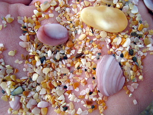
It's absolutely deserted, and we toss our bags under a tree and against the rocky bluffs, then wander out through the surf for a few minutes, letting the cool water soothe our aching feet.
We eat a belated lunch - sausage, crackers, apples - under the tree, watching the surf roll in. We feel completely like not moving again. With our backs against the warm rocks and our feet out in the sun, it's almost possible to forget how tired and grimy we are.
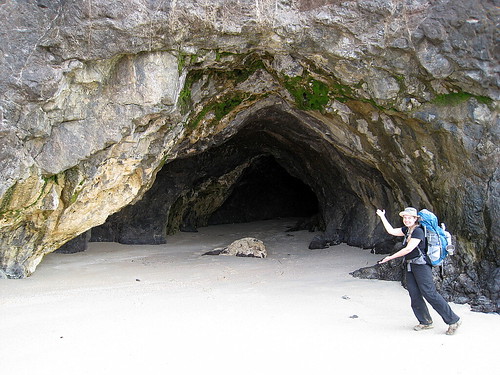
To the east, some thunderheads threaten, and we drag ourselves to our feet, shoulder our packs, and walk east along the beach to the final tide-dependent part of the path. There's a rocky headland separating Pandora Beach from Spirits Bay, and at low tide it is possible to walk around it. At high tide it's necessary to climb up and over a couple of headlands. We are very tired of climbing. Though we're a couple of hours before low tide, the crossing is relatively easy. We peer into a couple of exposed caves in the rock as we wind our way over to Spirits Bay.
Spirits Bay is gorgeous - it's a long, gentle, sandy curve, cupping the Pacific ocean and backed with sand dunes merging into green rolling hills.
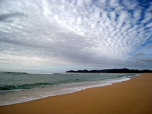
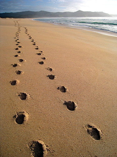
The operative word in that description is long, for though it doesn't seem like it should take so much time to walk, 5 miles in sand turns out to be slow going. We pass the time by picking out random landscape features as distance markers along our path. Half-way, two-thirds, three-fourths, and then we are done.
The beach is, as usual, gorgeous - I'm not sure I've seen ugly coastline in NZ - but we are almost numb to its beauty by the end. The sunset over the sea , however, wakes us back up, with brilliant orange, yellow, and red hues filtering through the black-blue clouds. To the east, the clouds over the ocean hang purple shot through with crimson, and behind us, to the south, the clouds are glowing pink and fringed with blue.
Finally, we see a pair of figures at the end of the beach, and realized that we've reached the campground. It's a couple of guys setting up at the spot nearest the ocean, and we make our way inland a couple of hundred meters before dropping our gear and proclaiming ourselves home for the night.
No comments:
Post a Comment